

Best fishing-planning apps for finding productive spots in the Adriatic
A pin is not a fishing plan. Depth, seabed, wind, and target species change from one Adriatic coast to the next, and between morning and noon on the same shore. This guide covers what to compare before a boat, shore, surf, or spearfishing day, and how AlgoCatch fits that check on the Slovenian coast, Istria, Kvarner, Dalmatia, and Trieste to Ancona.
Last updated 2 Oct 2026
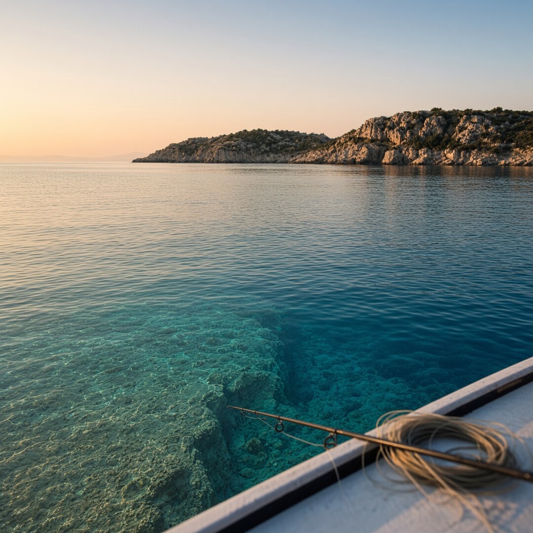
A pin on a map is a place to start, not a fishing plan. On the Adriatic the same coast can be worth a session in the morning and a poor choice by noon, depending on depth, bottom, wind, and what you are trying to catch.
The useful fishing-planning app puts bathymetry, seabed, weather, sea conditions, and target species in one workflow. AlgoCatch does that on part of this sea: the Slovenian coast, Istria, Kvarner, Dalmatia, and the Italian shore from Trieste to Ancona. It shows 10 m depth contours, Folk-5 seabed classes, and species habitat scores, so you can shortlist water before you leave. It does not replace a chart, a plotter, or a weather app. A habitat score is a structure match, not a fish count.
Why Adriatic fishing spots need more than a location pin
The Adriatic is one basin and several coasts. Trieste and the Slovenian shore are shallow and quick to colour after rain or a jugo. Istria has shelves, seagrass, and harbour edges. Kvarner has channels, lee shores, and bora that can shut one side of an island before breakfast. Dalmatia runs from bays to steep drop-offs. Montenegro, Albania, and Italy south of Ancona have their own harbours and rules. A spot list from another country will not travel.
A 4 m sand flat and a 40 m rocky edge a few hundred metres apart are different fisheries. Wind changes access, drift, and which side of an island is fishable. Wave height decides whether a beach or a spearfishing entry is open.
The best fishing-planning apps for the Adriatic hold depth, bottom, forecast, and target species in one pass, then leave a short list you can still reject.
What to look for in an Adriatic fishing-planning app
Start with the map. If you cannot read the bottom, the species list is decoration.
Bathymetry should separate flats, drop-offs, channels, reefs, ledges, and deeper holding water. Ten-metre contours are a practical scale. Look for rises above the surrounding bottom, the local brak, and for the line where a shelf falls into a channel. A fishing app with depth maps should let you tap a point and read the depth.
A seabed map for fishing is useful when classes match how anglers talk: rock, sand, gravel, mud, seagrass, reef, and mixed bottom. AlgoCatch uses Folk-5 classes from EMODnet geology: sand, rock, mixed sediment, and Posidonia. The class will not show every boulder a sounder paints.
A weather app for fishing should cover wind, pressure, temperature, precipitation, cloud, and the change through the day. Bora and jugo do not fish the same water. Wave height, swell, current, visibility, and water temperature belong beside it. AlgoCatch shows live current and sea-surface temperature, with later forecast days on VIP. Keep a dedicated source for the wind and wave go or no-go call.
Fishing spots by species only help if habitat, depth, season, structure, and method stay connected. A coloured zone should mean the bottom fits what that species often uses, not that fish are stacked there. On a phone, also check sunlight readability, coverage of your destination, and whether you can save a shortlist.
How depth and seabed type help identify productive Adriatic areas
Different bottoms support different sessions. None of them guarantee a fish.
Rocky points and ledges may be worth investigating for dentex, grouper, and shore jigging. Drop-offs give boat anglers a contour to troll or a depth change to anchor on. A Posidonia edge is a common place to look for gilthead. Open sand depends on a depth change, a bait lane, or surf wash. Harbour walls are often the realistic option with no boat. Muddy shallows after rain are a clarity problem first.
Compare two marks a kilometre apart. Mark A is 6 to 10 m, mostly sand, with a Posidonia edge. Mark B is 22 to 35 m, mixed ground falling to rock. For gilthead on a ledger, inspect A first, in settled weather. For dentex, pandora, or a contour troll, B is the better candidate. Wind, access, and closed areas still decide whether you go.
How weather and sea conditions affect the fishing plan
Wind rewrites the day. A bora can shut the exposed side of an island while the lee still holds. A jugo lifts the sea and can colour flats after the rain icon has cleared. Onshore wind may help a surf wash and make a rocky spearfishing exit dangerous.
Check the hour you will fish, not the daily summary. Boat anglers should read wind against the route and the ride home. Shore anglers should ask if the path will still be dry. Surfcasters should pair shoreline shape with wave height. Spearfishers should treat visibility, entry, and current as safety items first.
Before you leave, check wind at departure and for the return, wave height, recent rain and colour, temperature, thunderstorm risk, and daylight. Follow harbour notices. If conditions are past your experience, do not go. Season and stay-ashore notes are worth a read before a visiting week.
How to match an Adriatic fishing spot to the target species
Use the table to prioritize, not to predict a catch. Season and a front can empty a perfect-looking bottom. Habitat colours are a model of fit. On AlgoCatch, green means stronger structure for that fish. It does not mean a bent rod. Gilthead is the free layer. Higher scores and the other species sit on VIP. The habitat layer notes explain the scale.
| Target species | Common habitat indicators | Useful depth or structure clues | Weather or sea conditions to monitor | Suitable fishing methods | Planning notes |
|---|---|---|---|---|---|
| European seabass | Points, harbour mouths, channels | Shallow rock to moderate depth | Wind shift, colour, dawn | Shore lure, bait, light boat | Worth a look after a blow |
| Gilthead seabream | Sand, mixed, Posidonia edges | Flats and modest depths | Settled sea | Ledger, float, anchor | Free layer; high scores on VIP |
| Common dentex | Rock, reef, rises | Deeper mixed-to-rock, braks | Exposure, current | Boat bottom, slow jig | Structure over open sand |
| Grouper | Rock, caves, reef | Deeper hard bottom | Viz, sea state | Boat, spear where legal | Check closed seasons first |
| Greater amberjack | Reef edges, current lines | Deeper structure | Wind, summer warmth | Trolling, live bait | Needs a workable sea |
| Mackerel | Bait, points, current lines | Less about bottom class | Dawn, chop | Trolling, feathers, shore | Then switch to a bottom plan |
| Atlantic bonito | Warmer pelagic lanes | Open water and points | Sea temperature, wind | Trolling, spinning | Not a cold-month plan |
| Squid and cuttlefish | Walls, beaches, shallow mixed | Nearshore, night | Calm shore, autumn on | Eging, shore | Separate from finfish layers |
| Common pandora | Mixed ground off the sand | Just off the shallowest flat | Same days as gilthead | Anchor, bottom | Useful second species |
How AlgoCatch fits into the fishing-planning process
Coverage is five coasts: Trieste to Ancona, the Slovenian coast, Istria, Kvarner, and Dalmatia. Depth and Folk-5 seabed run across that area. Habitat, modes, and route suggestions are live on the Slovenian coast, Istria, Kvarner, and Dalmatia, and partial on Trieste to Ancona. Fishing layers do not cover Montenegro, Albania, or Italy south of Ancona. Check the coverage note before you book.
Pick water you can reach. Turn on contours and look for flats, drops, and rises. Compare sand, rock, mixed, and Posidonia. Check wind and waves in a marine forecast, then current and sea temperature on the chart. Read the species you mean to catch and shortlist one or two places. Gilthead is on the free map. Bass, dentex, pandora, mackerel, bonito, amberjack, bluefish, and mahi sit on VIP.
Free accounts can read depth and bottom, use trolling, anchor, and longline, and pull a limited number of route suggestions. Shore jigging, surfcasting, spearfishing, the wider species list, unlimited routes, forecast days beyond today, current-aware routes, and the 3D seafloor are VIP. The phone browser works from the car or the boat, and there is an iOS app. AlgoCatch is not for navigation.
How it differs from the other tools you already have
| Tool | What it is good at | What you still do elsewhere |
|---|---|---|
| General weather app | Wind, rain, pressure, hourly change | No depth, seabed, or species habitat |
| Basic map application | Roads, harbours, satellite coast | Little fishing bathymetry or bottom class |
| Forum or social group | Recent reports, seasonal talk | Pins go stale; no consistent bottom layer |
| Marine forecast tool | Waves, swell, sometimes current | No species filter or saved shortlist |
| AlgoCatch | Contours, Folk-5 seabed, habitat scores, mode-based routes on covered coasts | Wind and wave safety call, official chart, licence |
A weather app remains the right place for the wind call. A forum remains the right place to hear that bonito showed yesterday. AlgoCatch asks whether the bottom under that rumour matches the method. Limits are on the Free and VIP comparison.
Practical use cases for different Adriatic anglers
Boat fishing. Compare contours, seabed, wind, and species before you burn fuel. On a morning Kvarner slot for gilthead, take the lee, shortlist a mixed edge in the teens and twenties of metres, and keep one deeper rise as a second stop.
Shore fishing. Wind decides which point or breakwater you can stand on. If an Istrian point faces the jugo, fish the inner wall.
Surfcasting. Between a flat sheltered beach and a low surf over mixed ground, take the second, and leave if sets cover the exit.
Spearfishing. A ledge in diving depth is a candidate. Visibility, current, and gear laws sit above any colour. A wall to 40 m is not a plan.
Coastal visitors. Before you rent tackle, check the depth in front of the apartment. On a first Dalmatian day, skip the exposed channel if the afternoon wind is forecast.
Step-by-step example: planning a one-day Adriatic fishing trip
An angler has one day out of Rovinj, a small boat, gilthead first and pandora if the ground allows. Launch is 7:30, back by 15:00, on the anchor.
Contours show a sand and Posidonia flat to the south, mostly under 12 m, and a mixed edge to the west stepping from the mid-teens toward 30 m. The gilthead read is stronger on the class change. The forecast is a light morning and a fresher north-easterly afternoon. That puts the western edge first, in the lee, with the closer Posidonia fringe as the second stop if the first hour is blank.
Save the two areas privately. Confirm the Croatian licence, any no-take zone, and that the harbour exit is open. If the breeze is already on the wall, shrink the plan to the closer fringe. The chart suggested where to look. The harbour makes the call.
How to use fishing apps responsibly
Use a planner to decide where to try. Navigate with proper equipment. Respect protected areas, private jetties, harbour limits, bag limits, minimum sizes, closures, and gear rules. Shore, boat, and spearfishing rules are not the same document. Read the official page for the country you are in. The Croatia licence guide is a starting point, and fees move, so recheck it.
Do not post precise marks if the likely result is a crowd on a small piece of structure. Check the app the night before, again before you leave, and again if the wind shifts.
Comparison checklist: choosing the right app
- Does the app cover my Adriatic destination, or only a neighbouring coast?
- Can I view depth, drops, and rises?
- Does it identify seabed type in classes I can fish against?
- Can I compare weather and sea conditions for the hour I will be out?
- Can I plan around a target species without treating colour as a promise?
- Is it readable on a phone in daylight?
- Can I use it for boat and shore fishing?
- Does it help me save a shortlist or route?
- Are regulations and safety checks separate from fishing suggestions?
- Does it say what it will not do, including navigation and coasts it does not score?
If coverage is no, the rest does not matter for that trip.
Frequently asked questions
What is the best app for finding fishing spots in the Adriatic?
No single app covers every coast. For depth, seabed, and species habitat together, AlgoCatch fits the Slovenian coast, Istria, Kvarner, Dalmatia, and Trieste to Ancona. You still want a weather app and official charts. Montenegro, Albania, and Italy south of Ancona are outside its fishing layers.
Can a fishing app show depth and seabed type?
Yes. AlgoCatch uses 10 m EMODnet contours and Folk-5 classes: sand, rock, mixed ground, and Posidonia. Confirm anything critical with a sounder.
How can weather affect Adriatic fishing locations?
Wind decides lee shores, access, drift, and often clarity. Jugo and rain can colour northern flats. Check the fishing hour, not the daily icon.
Which app features are most useful for boat fishermen?
Contours, seabed, rises, routes along a depth band, and a species filter. Trolling, anchor, and longline are on the free map. Current-aware routes are VIP. You still need a wind forecast and a navigational chart.
Can shore anglers use the same fishing-planning tools?
Yes. Read points, beaches, and breakwaters against the wind. Surfcasting adds wave. Spearfishing adds depth and visibility. Those modes are VIP. The free map still shows depth and bottom.
How should anglers verify local fishing regulations?
Use the official fisheries page for licence type, bag limits, minimum sizes, closures, and gear rules. A Croatian licence does not cover Slovenian boat fishing.
A more informed shortlist
Productive Adriatic plans combine structure, seabed, weather, sea conditions, species, access, and safety. Last year's pin does not carry today's wind.
AlgoCatch is a practical start if your coast is inside its coverage and you want those layers in one view. Open it against a trip you already have, compare two areas the way the Rovinj example does, and keep the weather app beside it.
Explore the chart at algocatch.com, or read what the planner includes before you decide if the free map is enough.