Free
€0
Try without risk
- Map, depths, Folk-5 seabed
- Gilthead habitat, scores under 60
- Trolling, anchor, longline · 2 route suggestions a day
- No card, no time limit
Start Free
No card needed
 AlgoCatch
Free opens depths, seabed and gilthead. Other species and the best scores are VIP.
Depths, seabed type and species habitats for the Slovenian coast, Istria, Kvarner, Dalmatia and the Italian shore from Trieste to Ancona. Check the water in English before you book the boat, buy the licence or drive down.
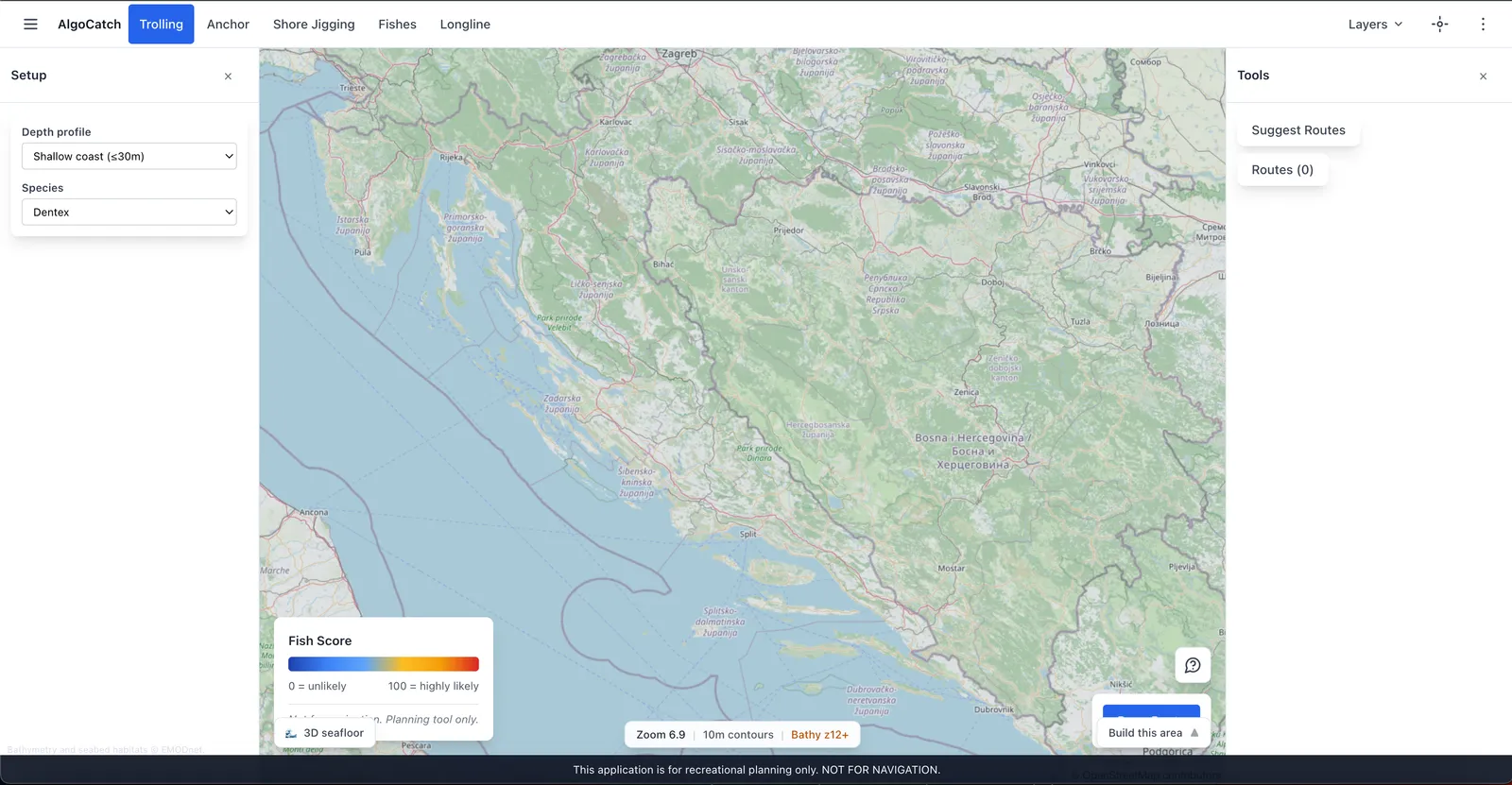
Free: map, depths, gilthead. VIP from €5/week: all species, full scores, routes.
Start with these eight pages. Town lists live under the location hub, not on this homepage.

AlgoCatch is a planning chart for recreational fishing on the Adriatic. This page is for anglers who read it in English.
Live fishing layers are Adriatic-only: the Italian shore from Trieste to Ancona, the Slovenian coast and Croatia. The base map opens elsewhere, but without fishing layers - this is not a worldwide fishing chart.
The first Adriatic tool built so you read the water from shore, car, or boat - not after you’ve already burned the day.
See how it works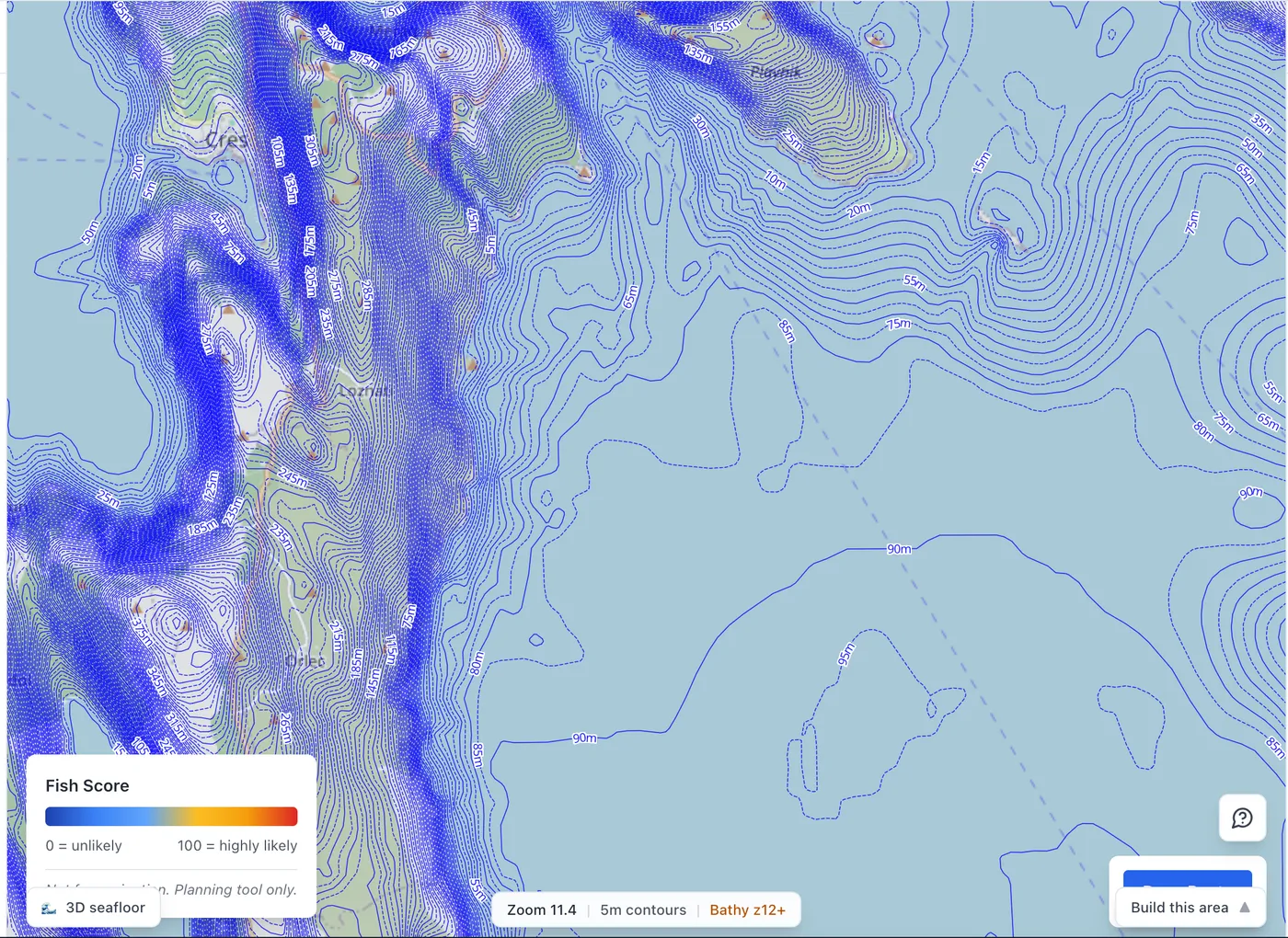
Guides in English for the coasts where the fishing layers are live: the Italian shore from Trieste to Ancona, the Slovenian coast, Istria, Kvarner and Dalmatia. Depths, season and habitat notes for each place.
Start with the water. AlgoCatch shows depths, Folk-5 seabed classes and species habitats for the Slovenian coast, Istria, Kvarner, Dalmatia and the Italian shore from Trieste to Ancona, so you can shortlist spots before you arrive.
AlgoCatch is a planning chart, not a chart plotter, and it does not sell fishing licences. You still need a valid licence for the country you fish in. Our Croatia licence article covers where to buy one and how shore and boat licences differ.
For one week on the water, the Week Pass (€5) gives 7 days of full VIP access. If you upgrade to Season or Yearly within those 7 days, the €5 is credited.
Shelves, trenches, and drop-offs along the Adriatic coast.
Read the contours on the map - not after you’ve already burned your time.
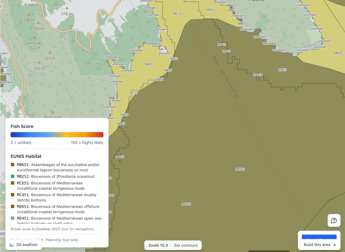
Sand, rock, posidonia - each species has a preference.
Seabed composition is on the chart so you find the right ground for the fish.
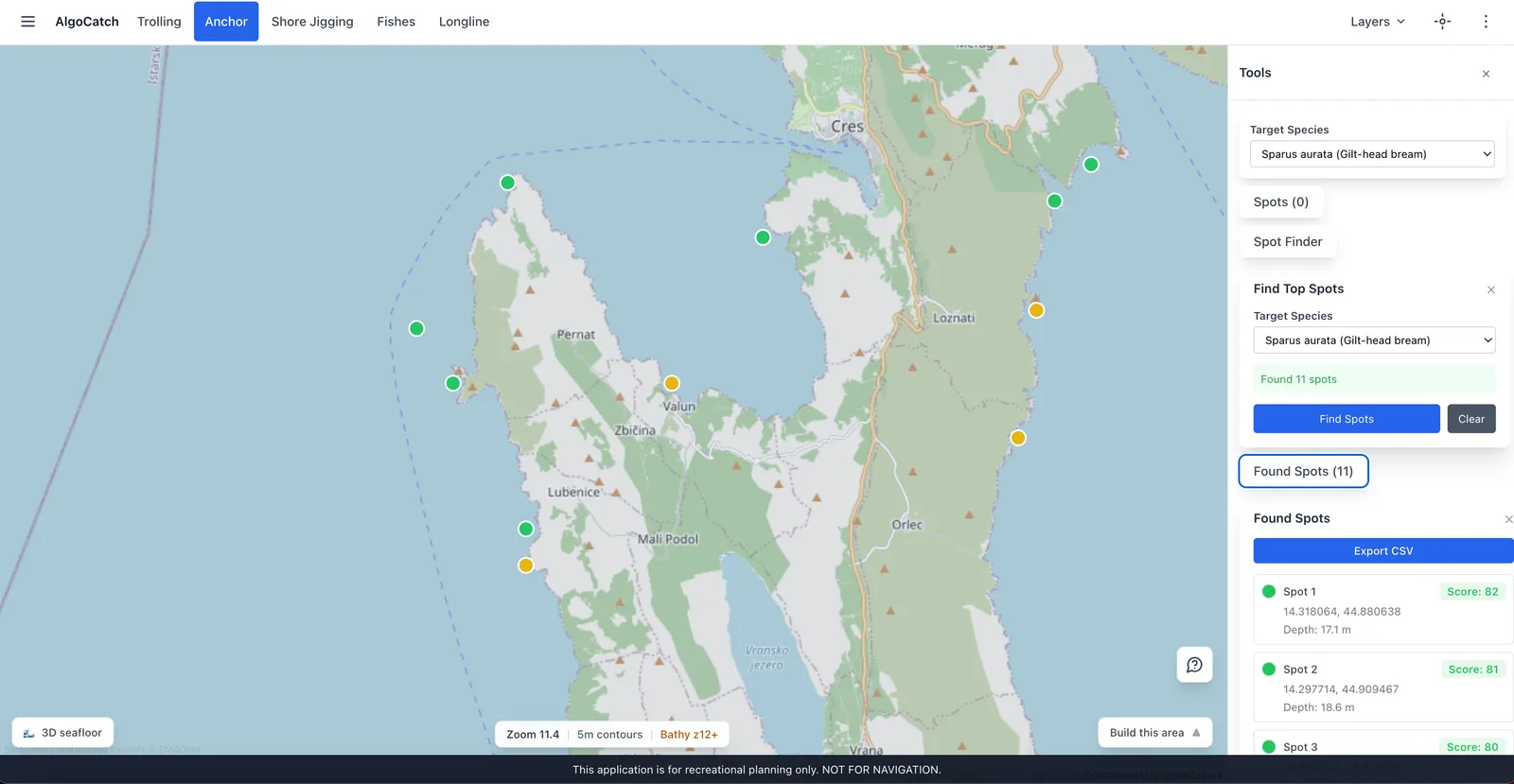
Dentex is not where gilthead is.
Species filters highlight depth, bottom, and structure that fit your target.
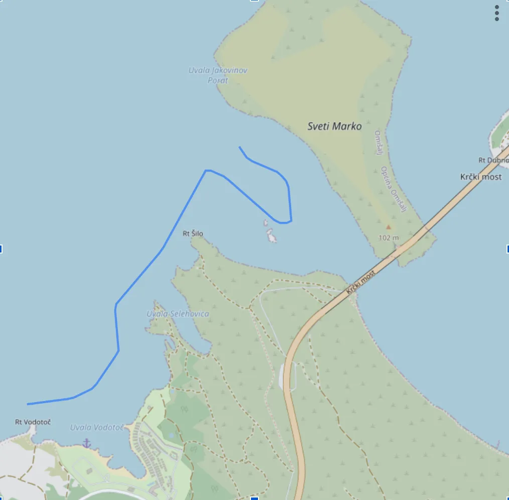
Plan a trolling line that stays in the right water.
The planner suggests paths along bathymetric contours - already live.
Shore jigging · surfcasting · spearfishing
Same depths and Folk-5 seabed, read from the rocks, the beach or at diving depth.
All three modes are VIP. Free keeps trolling, anchor and longline.
Open the chart on your phone before you leave - or while you’re already on the water.
Same map in mobile web - no guessing from memory.
Proof that this works for anglers like you.
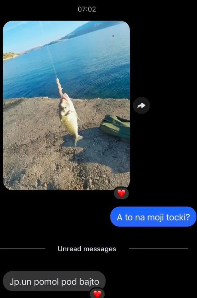
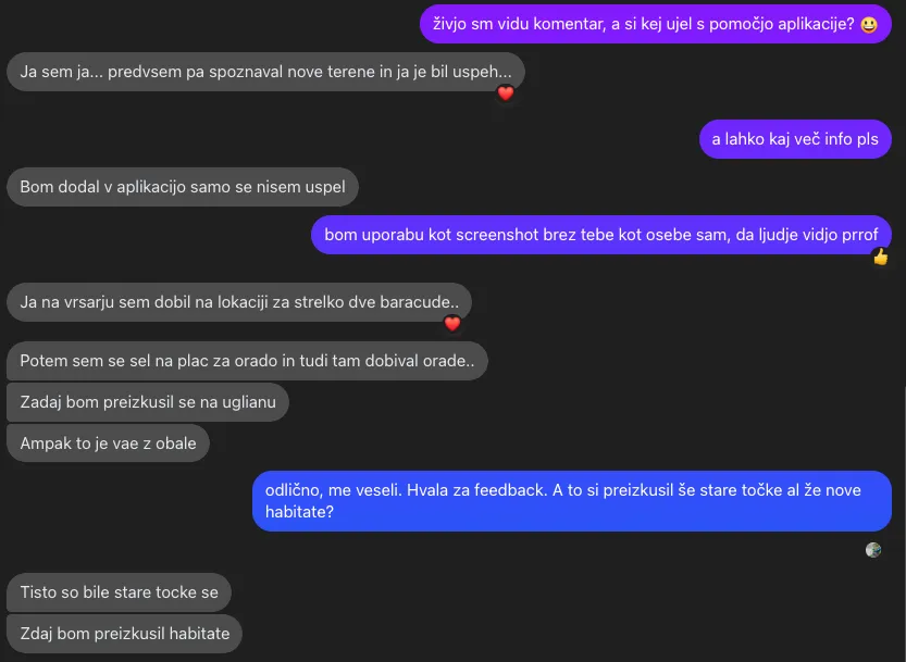
We're Gregor and Lenart - we built the tool we needed on the water.
Gregor has fished the Adriatic for over 30 years.
Lenart is a boat captain and passionate angler for 20 years.
The idea for AlgoCatch was born while looking for anchorages and trolling lines in the Savudrija shoals - right where “deep enough to fish” sits hundreds of meters from shore.
No existing tool answered a simple question: “Exactly where should I cast or troll?” So we built AlgoCatch for Adriatic anglers on shore or on a boat.
Explore the chart on Free. Upgrade when you need full habitats, routes, and tools.
Free
€0
Try without risk
No card needed
Week Pass
€5 · One payment
7 days of full VIP
All habitats · scores 60+ · unlimited routes · shore, surf, spear
This season
Seasonal
€25
This season’s edge
Full access 1 May to 31 October
All habitats · scores 60+ · unlimited routes · shore, surf, spear
Yearly
€45/year
€3.75/month · Best regular price
All habitats · scores 60+ · unlimited routes · shore, surf, spear
Cancel anytime · access runs to the end of the paid year
Best value
Lifetime
€99 · One payment
Own it for life
All habitats · scores 60+ · unlimited routes · shore, surf, spear
The Italian Adriatic from Trieste to Ancona, the Slovenian coast, Istria, Kvarner and Dalmatia. The base map opens elsewhere, but the fishing layers - bathymetry, Folk-5 seabed classes and species habitats - are live only on those coasts.
Free includes the Trolling, Anchor and Longline modes, the gilthead (orada) habitat, 2 route suggestions a day (4 in your first 48 hours) and a limited number of saved routes. From 20 August 2026, Free hides gilthead zones scored 60 or higher. VIP adds shore jigging, surfcasting and spearfishing, all live habitats, unlimited suggestions, current-aware routes, forecasts beyond today, the 3D seafloor, the effort overlay and CSV export.
Yes. AlgoCatch is a planning chart and does not sell or replace licences. Each country sets its own rules for shore and boat fishing. For Croatia, read our licence article (in English) before you go.
No. AlgoCatch is a planning chart for recreational fishing, not a navigation device. Use it to choose where to fish, then navigate with your plotter and official charts.
It is a free tool page. Drop a pin on the sea, choose a technique and species, and see the depth, bottom type and a fit score for that point. The first check works without an account.
The Week Pass. It costs €5 once and gives 7 days of full VIP access. If you upgrade to Season (€25, sold 1 May–31 October) or Yearly (€45) within those 7 days, the €5 is credited. Free stays available with no card.
Week Pass (€5) is 7 days of full access with one payment - and the €5 is credited if you upgrade to Seasonal or Yearly within your week. Seasonal (€25) covers 1 May to 31 October and can only be bought during that window. Yearly (€45) is a subscription, and Lifetime (€99) is full access with one payment. All paid plans share the same product access while active.
Yearly is the only subscription and can be cancelled anytime - you keep access until the end of the paid period. The Week Pass, Seasonal, and Lifetime are one-time purchases with no recurring charge, and Free never needs a card.
Yes. Card payments run through Stripe. You can also ask support about bank transfer if you prefer.
Email support@algocatch.com or use the in-app help icon once you are signed in.
Create an account in a minute. Explore the chart. Upgrade only when Free is not enough.